
+
Utility & Corridor Mapping
Utility & Corridor Mapping
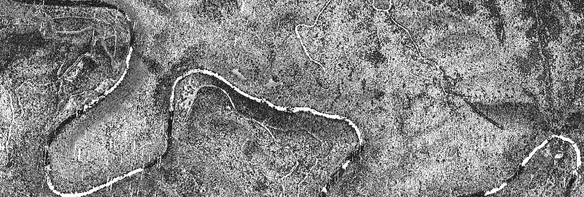
We are leaders in above ground utility mapping for electric transmission lines requiring low altitude aerial and oblique photography, videography, Lidar, and remote sensing. Combining different acquisition platforms and sensors allows for the precise identification and mapping of utility lines and other structures, even in challenging environments such as densely vegetated areas or urban landscapes where ground-based surveys may be impractical or incomplete. Because of the significant risks associated with low altitude power line surveying, our crews prioritize safety concerns above all including collision avoidance preparation, electromagnetic interference, weather conditions, and emergency response preparedness in an event of a malfunction or incident.