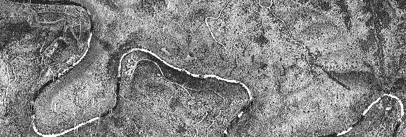
Orthophotography & True Orthophotography
Orthophotography & True Orthophotography
Orthophotography, sometimes referred to as orthoimagery, is a specialized technique used in the field of remote sensing and geomatics to create geometrically corrected aerial images that have uniform scale and are free from distortion, allowing for accurate measurements and analysis. True orthophotography takes orthophotography a step further by incorporating a process called digital terrain modeling (DTM). This technique removes not only perspective distortion but also relief displacement, resulting in images where objects appear as if they were taken from directly above, regardless of the terrain's elevation. Our ortho-production team has extensive experience in creating orthophotgraphy and true orthophotography for any size projects including large areas such as counties and municipalities. We combine large imagery footprints with high overlap using large focal length cameras to efficiently minimize processing time and produce quality orthoimagery with minimal distortions and improved accuracy.
