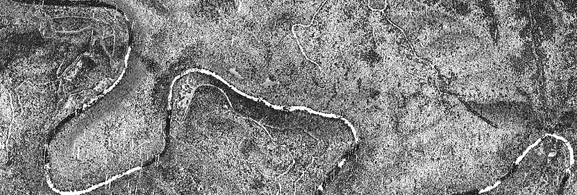
Drone Photography, Remote Sensing & Lidar
Drone Photography, Remote Sensing & Lidar
Drone photography, remote sensing, and LiDAR (Light Detection and Ranging) technology have revolutionized various industries, from agriculture to urban planning, environmental monitoring to archaeology. We combine drone photography, remote sensing, and LiDAR technology to produce high-quality geospatial data, empowering industries, and researchers to make informed decisions, optimize resource allocation, and mitigate risks effectively. As these technologies continue to evolve, our technical team evolve their skills through ongoing education and training. This can take various forms, including attending workshops, enrolling in online courses, pursuing certifications, and participating in hands-on learning experiences. By investing time and resources in learning new technologies and methodologies, our technical professionals expand their knowledge base and stay abreast of emerging trends to better accommodate our client needs.
